Footwear
Choose shoes with grip; exposed rock, gravel and steps can be slippery after rain.
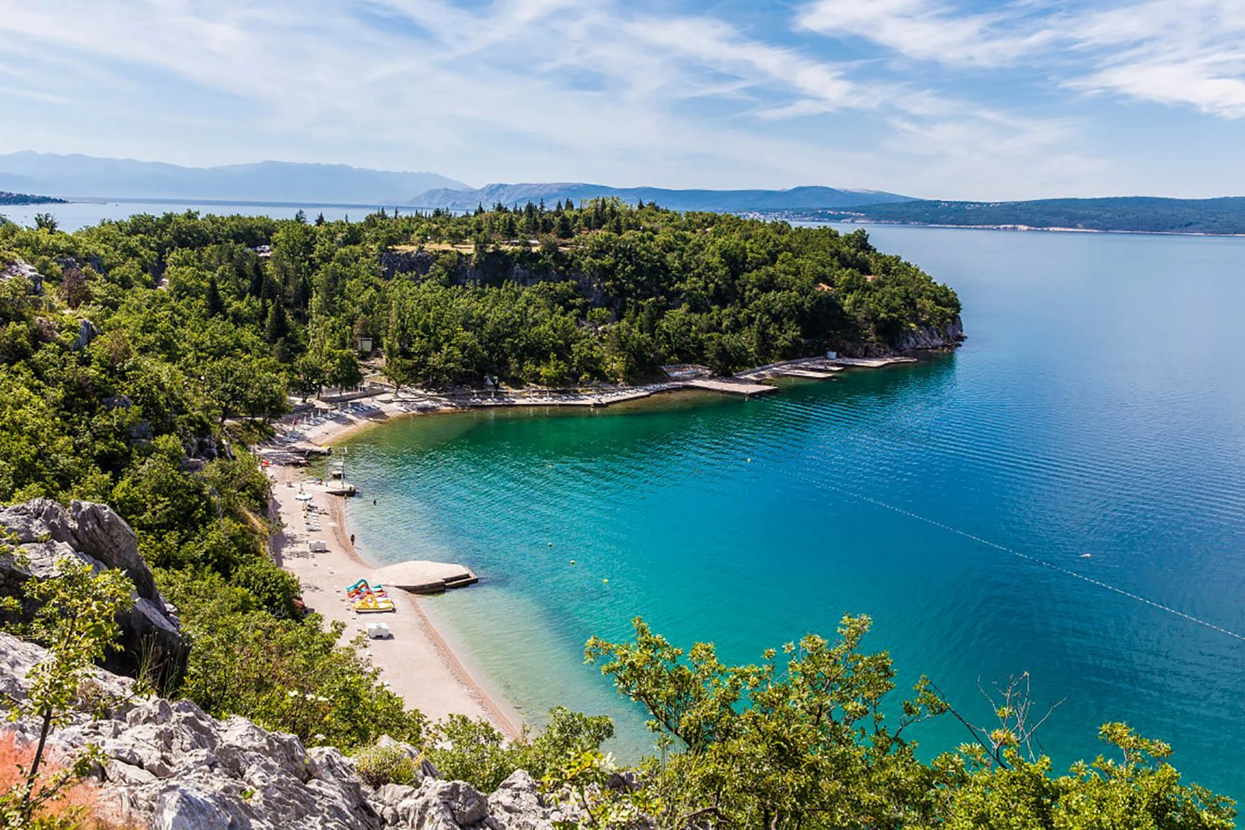
WALKING THE RIVIERA · STAZA VALOVA
An Adriatic walk through pine shade, limestone viewpoints and a series of coastal bays.
Route & stagesDistances and times are indicative, not official surveyed measurements. Routes vary by start point, coastal detours and chosen return.
THE ROUTE · AT A GLANCE
Staza valova, the Waves Trail, is an approximately 30 km coastal route between Povile and Jadranovo. Here we focus on its northern Kačjak–Jadranovo section, where the Riviera is at its most wonderfully untamed.
Start at Kačjak in Dramalj, continue towards Perhati, then follow local paths and connections towards Havišće, Lokvišće and central Jadranovo. The nature-trail section between Kačjak and Perhati is waymarked; do not assume the whole walk is signed or level.
Begin beside the beach or harbour, with the sea behind the trees. Find the direction towards the nature trail rather than assuming the paved shore promenade continues all the way.
The most natural stretch: uneven ground, rocky edges and views towards Krk. This is the part of Staza valova identified as waymarked in regional visitor information.
A useful orientation point on the approach to Jadranovo. Review the route before continuing; connections may use minor roads as well as paths.
Descend towards the sheltered beach area. The wider Jadranovo coastline alternates coves, paths and developed stretches.
Continue towards Lokvišće Bay and the village. Save time for the waterfront and arrange your return in advance.
A COAST YOU CAN SEE
Authentic location photographs from Kačjak, Jadranovo and Lokvišće. For actual recorded trail photographs, follow the linked hikers’ GPS journals.


Authentic location photographs from Kačjak, Jadranovo and Lokvišće. For actual recorded trail photographs, follow the linked hikers’ GPS journals.
See recorded trail photographs on Wikiloc ↗WALK WITH CONFIDENCE
Use a GPS track when walking between Kačjak and Perhati, especially at junctions. Third-party tracks may contain different loops and start points: read the description before setting off.
PRACTICAL NOTES
Choose shoes with grip; exposed rock, gravel and steps can be slippery after rain.
Carry water, sunscreen and a hat. Avoid exposed sections in strong wind, intense heat or storms.
Only some stretches are marked. Download a GPS route and check current local conditions.
This is a point-to-point route. Plan a return walk, pickup or local transport before leaving.
GOOD TO KNOW
No. The Kačjak–Perhati section follows a nature trail with uneven surfaces; elsewhere you may use paths and village roads.
No. Regional visitor information identifies the Kačjak–Perhati nature section as waymarked. Use current GPS guidance for the full walk.
Allow roughly 5–7 km and about 2–3 hours one way, depending on detours and stops. These are planning estimates, not official surveyed figures.
EDITORIAL SOURCES: Based on regional hiking information and public, independently recorded route descriptions. Reviewed 11 October 2026. Trail access can change; follow on-site signage.
Vinodol tourism · Staza valova ↗ · Wikiloc · Dramalj–Jadranovo ↗ · HRT · Staza valova ↗
A SMALL PART OF SOMETHING BEAUTIFUL
Continue the journey through nearby Dramalj, the towns of the Crikvenica Riviera and our wider Adriatic destination network.